News
‹ back to weather news
News
-
Aussie summer snow two days before Christmas
Anthony Sharwood, 23 December 2024It was almost, but not quite, an Australian white Christmas as snow fell in parts of the Tasmanian, Victorian, and NSW high country on the morning of Monday, December 23.
The brief wintry burst came as a cold front whipped through Australia's southeast corner on Sunday night into Monday morning.
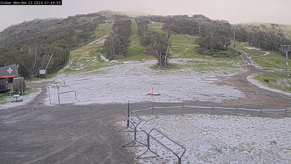
This was the scene about halfway up the slopes of Thredbo early on Monday morning. The resort announced the closure of its mountain bike park for the day due to "heavy snowfall".

Image: This cam is located at the Merritts area in Thredbo, at an elevation of just over 1600 metres. Snow was also reported down in the village at around 1370 metres. Source: ski.com.au.
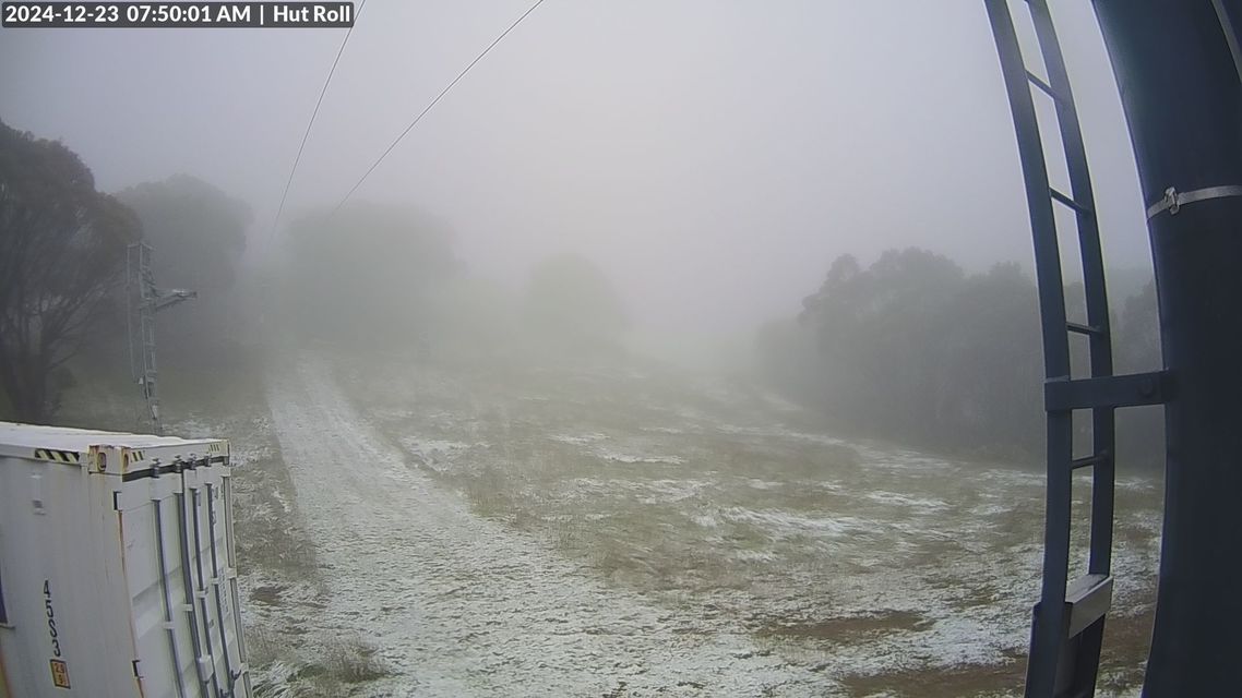
Here's what the Monday morning light dusting looked like at Mt Baw Baw in Victoria.

Image: Baw Baw is mainland Australia’s lowest ski resort but also its southernmost, meaning it occasionally sees summer snowfalls. Source: ski.com.au.
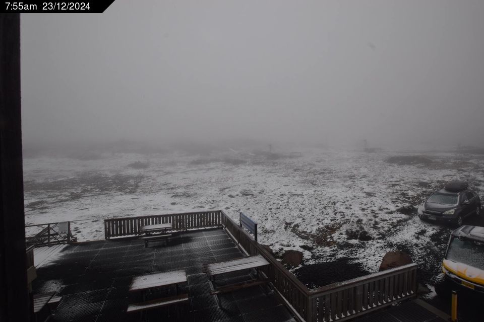
And this was the scene at Ben Lomond ski resort at an elevation of 1460 metres in northwest Tasmania this morning.

Image: There was no snow visible on the kunanyi/ Mt wellington cam (elevation 1260m) near Hobart despite heavy overnight precipitation, so it appears the elevation at which snow settled in Tasmania was above 1300 metres. Source: ski.com.au.
Why the Aussie summer snow?
Two words: it happens.
The slightly longer version is that it has happened many times before and will happen again, even in a warming climate.
The southernmost parts of Australia have an unusual summer climate where the day-to-day weather can be impacted by either the scorching air that lingers over central Australia or the chilly airmasses circulating the globe at higher latitudes.
Occasionally in summer, bursts of cooler Southern Ocean air push northwards (as happens frequently in winter). During these events, brief highland snow can and does occur.
An event like today's cold front is made slightly more likely during a negative phase of the Southern Annular Mode (SAM), as we have now.
READ MORE: The SAM has gone negative – here's what it means for Australia
With a negative SAM, the band of westerlies circulating the globe expands northwards towards Australia.
- Meanwhile the coldest temperature recorded in Australia so far this Monday appears to have been the –2.3°C at Thredbo Top Station just before 8am.
- Also of note is that both Melbourne (16mm) and Hobart (26.4mm) received a decent drop of rain overnight as the front passed through.
- Other news
- Mon 23 Dec 2024 Boxing Day Test forecast: 41-degree MCG scorcher
- Mon 23 Dec 2024 Extreme to Catastrophic fire danger to hit SA, Victoria on Boxing Day
- Mon 23 Dec 2024 The Eddie goes – prestigious big wave event gets underway in Hawaii
- Sun 22 Dec 2024 Queensland city beats December rainfall record before Christmas
- Sat 21 Dec 2024 Victoria bushfire forcing evacuations, smoke spilling into NSW

